Tuolumne Meadows is a gentle, dome-studded meadowy section of the Tuolumne River, in the eastern section of Yosemite National Park. Its approximate location is . Its approximate elevation is 8619 feet (2627 m).
Tuolumne Meadows has a good view of the Cathedral Range (in the background of the image, looking south), Lembert Dome and Mount Dana (to the north). Camping is available at the Tuolumne Meadows campground (reservations recommended). Excellent hiking and rock climbing are accessible from Tuolumne Meadows, which tends to be less crowded than Yosemite Valley. The John Muir Trail and the Pacific Crest Trail run through Tuolumne Meadows. Downstream (flowing to the right (western) side of the image), the Tuolumne River cascades over Waterwheel Falls, near Glen Aulin, eventually pooling at Hetch Hetchy.
The mountains of the Sierra near the meadows have some permanent snowfields: in the summer they are mostly free of snow. The roads to the meadows are generally free of snow from June through October. Due to the extreme elevation, road access is closed through winter season in the Meadows.
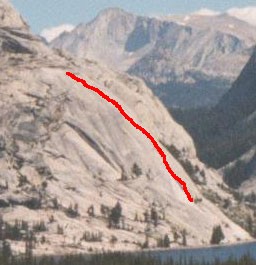
 Rock climbing
No comments:
Post a Comment